Maps and plans
For the latest Google map, click HERE
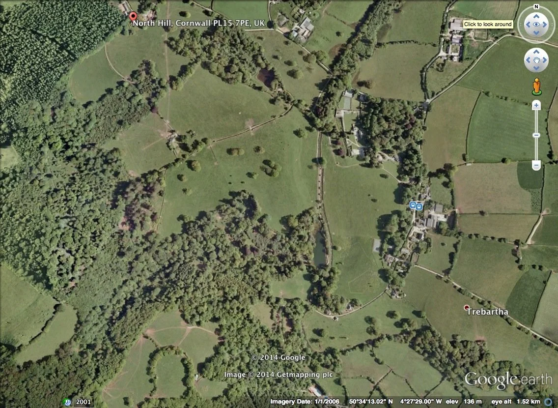
This is a 2006 GoogleEarth image, taken before the clearance of Rhododendron ponticum:
These maps and plans are in date order:
Click HERE to see old Ordnance Survey maps and modern satellite images side by side (a service from the National Library of Scotland!)
Click HERE to see a plan of the estate showing tenancies.
Please note two updates: The tenants at East Castick are: Neil Dennis & Hanna Caudrey; and the tenants at West Castick are Hamish Lothian and Lucy Carruthers who have a business tenancy to run a distillery.
Click HERE to see planting proposals for the American Garden (as at November 2017)
Click HERE to see a map of public rights of way over Trebartha Estates land (as at October 2017)
Click HERE to see a map of Trebartha Woodlands (as at July 2017)
Click HERE to see the 2014 Swan Pool and American Garden topographical survey
Click HERE to see the 2014 Fish Ponds topographical survey
Click HERE to see the top half of the 1940 map prepared for the sale of Trebartha
Click HERE to see the lower half of the 1940 map prepared for the sale of Trebartha
Click HERE to see a 1907 map of Trebartha
Click HERE to see a 1906 map of Trebartha
Click HERE to see an 1887 map of Trebartha
Click HERE to see an 1884 map of Trebartha
Click HERE to see the c1881 first OS map of Trebartha - which shows accurate tree locations